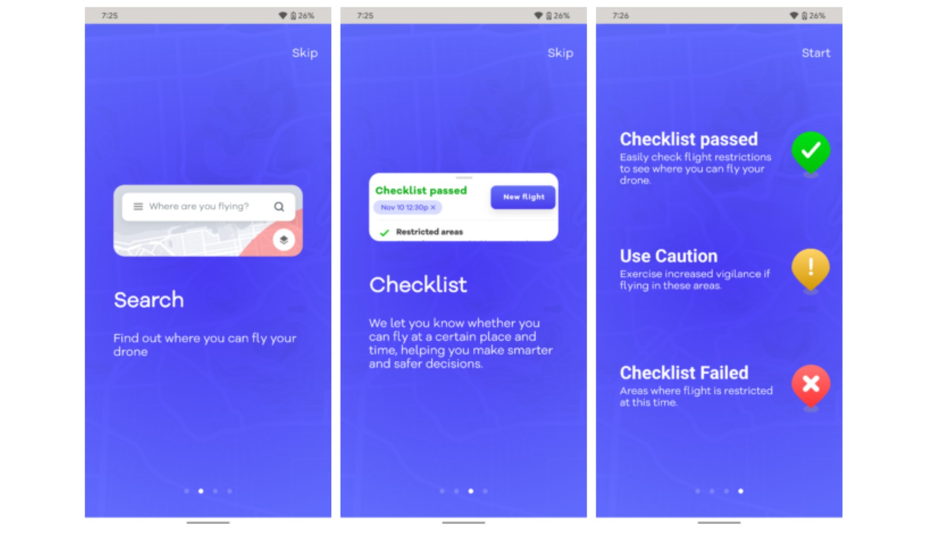
When you’re just getting started, it can be overwhelming to fly drones. Drones must be registered and operated correctly, but you must know where you can legally fly them. Fortunately, as the tired saying goes, there’s an app for that. A subsidiary of Alphabet (Google’s parent company) called Wing has developed one such app called OpenSky, but it has been confined to Australia since its launch. Although the app begins in Australia, it lands in the United States.
OpenSky joins a group of apps like Aloft and the FFA’s B4UFLY that help drone pilots find spaces where they’re allowed to fly or, more importantly, where they’re restricted from flying, like airports and national landmarks. It also offers other convenient features like making flight plans, logging data, and managing license data.

Furthermore, LAANC can be partially automated to go the extra mile. The Low Altitude Authorization and Notification Capability permits drones to fly in controlled airspace surrounding airports (up to 400 feet above ground level).
The features offered by OpenSky are not particularly unique, but it sets itself apart in the same way that so many of Google’s apps do: it’s free. There are a lot of similar apps on the Play Store, but as Engadget notes, OpenSky collects a lot of data that Wing will be able to use once it expands beyond testing and starts making deliveries in more areas. It’s also conceivable that data will contribute to different projects, like Google Maps or personalizing ads.
As of now, OpenSky also provides results to users in the US, so you can check it out if you’re looking for something different – or at least start checking the laws if you didn’t do it already. Even these apps aren’t completely reliable, so it’s still a good idea to use common sense.
